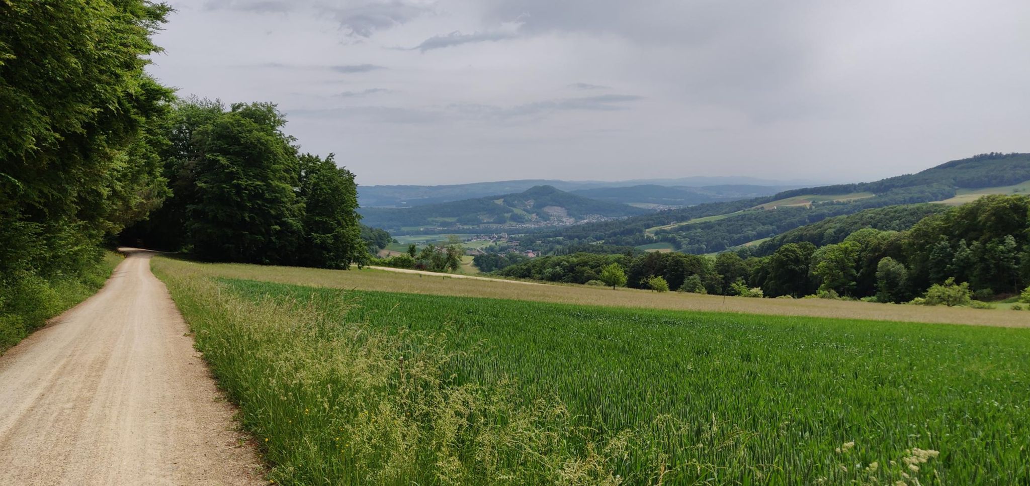
Hiking the Jura Crest Trail in 16 stages
Dielsdorf to Nyon, the long way round
The Jura Crest Trail links Zurich and Genève in a sweeping arc along the ridge of the Jura: 16 official stages covering 320 km and around 13,800 m of ascent, from Dielsdorf near Zurich to Nyon on Lake Geneva. Like the Trans Swiss Trail, I hiked this one in pieces over a couple of years rather than in one continuous push.
Between May 2022 and August 2024 that added up to 17 hikes, ~332 km and ~13,500 m of ascent on my own GPS tracks (again, GPS-measured distance/elevation runs a little higher than the official figures).
This was the second long-distance trail I completed in Switzerland. For details of the first see the Trans Swiss Trail write-up.
Stage log and GPX downloads
Each stage name links to the official SchweizMobil stage page for route details, and the GPX link is a cleaned copy of the track I actually walked — personal metadata (author info, heart rate, cadence, temperature, device ID) has been stripped, so it’s safe to download and drop straight into a GPS device or mapping app for navigation.
One stage in this table, “Bit to get back on the trail”, isn’t part of the official 16 — it’s a short connector I walked between the end of stage 10 and the start of stage 11 to reach public transport, so it has no SchweizMobil page of its own.
| Stage | Distance | Elevation | Moving time | GPX Track | |
|---|---|---|---|---|---|
| 1 | Dielsdorf – Brugg | 25.4 km | +831 / -879 m | 5h31 | Download |
| 2 | Brugg – Staffelegg | 17.2 km | +579 / -298 m | 3h15 | Download |
| 3 | Staffelegg – Hauenstein | 20.3 km | +857 / -806 m | 4h09 | Download |
| 4 | Hauenstein – Balsthal | 21.8 km | +901 / -1072 m | 4h28 | Download |
| 5 | Balsthal – Weissenstein | 21.7 km | +1215 / -454 m | 4h47 | Download |
| 6 | Weissenstein – Frinvillier | 24.8 km | +684 / -1388 m | 5h42 | Download |
| 7 | Frinvillier – Chasseral | 19.1 km | +1295 / -307 m | 5h04 | Download |
| 8 | Chasseral – Vue des Alpes | 19.3 km | +655 / -913 m | 3h58 | Download |
| 9 | Vue des Alpes – Noiraigue | 23.5 km | +812 / -1351 m | 6h09 | Download |
| 10 | Noiraigue – La Combaz | 13.1 km | +779 / -338 m | 2h59 | Download |
| — | Bit to get back on the trail | 4.6 km | +388 / -0 m | 0h58 | Download |
| 11 | La Combaz – Ste-Croix | 18.8 km | +736 / -834 m | 4h08 | Download |
| 12 | Ste-Croix – Ballaigues | 19.1 km | +813 / -1003 m | 4h19 | Download |
| 13 | Ballaigues – Le Pont | 18.4 km | +838 / -693 m | 4h10 | Download |
| 14 | Le Pont – Col du Marchairuz | 21.9 km | +1013 / -571 m | 5h57 | Download |
| 15 | Col du Marchairuz – St-Cergue | 17.3 km | +405 / -801 m | 3h55 | Download |
| 16 | St-Cergue – Nyon | 25.8 km | +740 / -1383 m | 5h46 | Download |
Notes on the tracks
- Distances and elevation come straight from my Garmin activity files, not the official SchweizMobil figures, so expect small differences stage to stage.
- Every GPX file has been stripped of author metadata and biometric data (heart rate, cadence, temperature) — they contain only the track name, coordinates, elevation and timestamps needed for navigation.
- The gap between stages 8 and 9 (October 2022 to April 2023) was a winter break — most of this trail sits high enough on the ridge that it’s better done outside the snow season.
What’s next
That’s both of Switzerland’s classic long-distance trails I’ve logged so far. I’ll add more here as I complete others.
Want to see a route before downloading it? Pick a stage below.